
|
|
# covid Geospatial Technology to Contain COVID-19 |
|
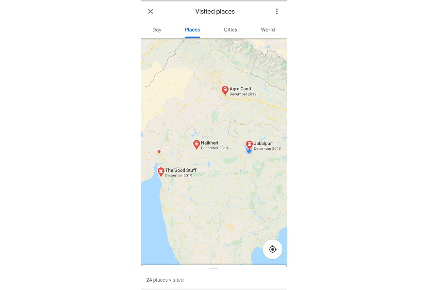
Mapping the location history of COVID-19 patients is critical in identifying areas that have been exposed to the virus. . Through the use of the geolocation data of positively-tested patients, COVID-19 hotspots can be identified even before cases are confirmed, allowing for early intervention by public health authorities.


National Autonomous University of Mexico (UNAM)
Safe delivery packaging